Bat-monitoring: a novel approach
Author(s): Newson, S.E., Ross-Smith,V., Evans, I.,Harold, R.,Miller, R. & Barlow,K.
Published: April 2014
Journal: British Wildlife Volume: 25
The Norfolk Bat Survey was started in 2013 by BTO ecologist Stuart Newson. Stuart and his colleagues have taken advantage of advances in technology to map bat distributions, and activity on a scale never before seen. The Survey relies on a network of ‘Bat Monitoring Centres’ situated throughout the county, from which members of the public borrow passive bat detectors and set them up locally for three days at a time. Between 2013 and 2015, this cost-effective survey method generated over 1.2 million bat recordings, making it one of the most extensive high-quality data sets for bats from anywhere in the world and engaging volunteers with citizen science in the process.
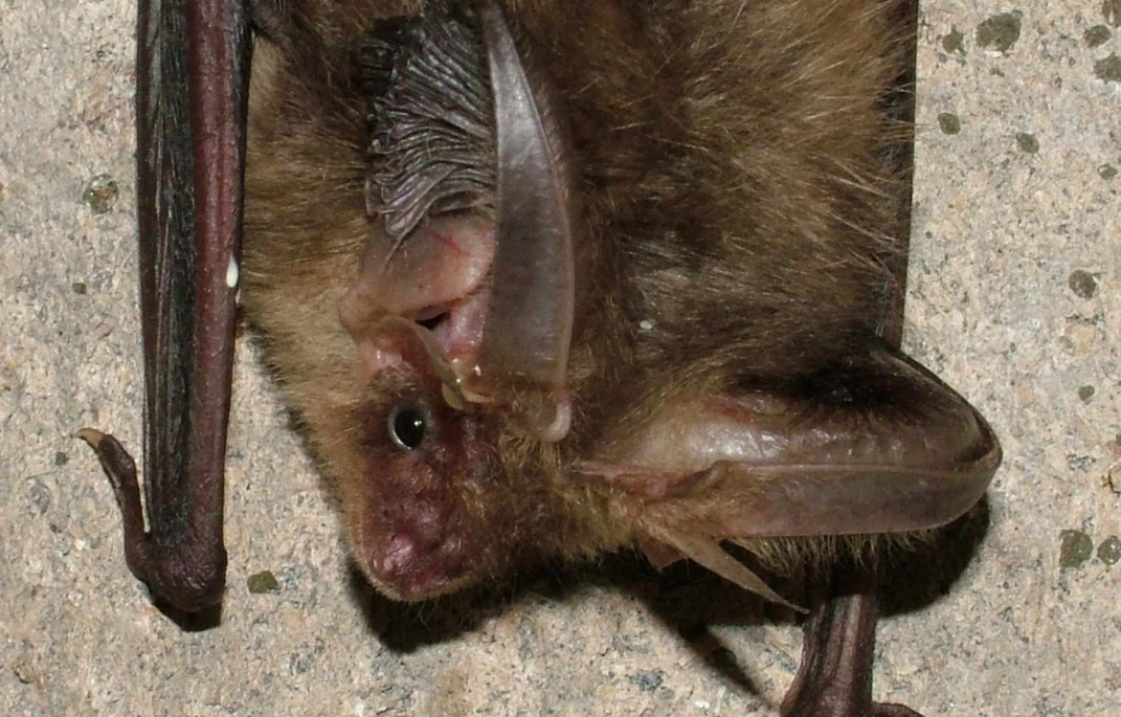
The project has improved our understanding of spatial patterns of bat distribution and activity of all species, from the near-ubiquitous Common Pipistrelle to the locally scarce Leisler’s Bat, increasing the number of records from Norfolk from 10 to almost 300. The study also reveals how bat activity varies through the night. For example, Common and Soprano Pipstrelles are most active shortly after sunset, when airborne small insect prey availability is at its peak, while Brown Long-eared Bats, which take prey from foliage are active throughout the night. On a seasonal timescale, several species have been found to disperse after breeding into areas that they are not reported from earlier in the season.
Such information has important conservation implications. Surveys of many species of bat are required before land is developed. The techniques used by the Norfolk Bat Survey present a better way of carrying out such work, with more informative results. As more years’ data are collected, the technique will also allow changes in bat populations to be monitored in a way that has not previously been possible. The Norfolk Bat Survey has already been expanded into neighbouring parts of East Anglia by popular demand. In 2016, a new survey will also begin in southern Scotland using the Norfolk Bat Survey model, and we are discussing with BCT how this approach may inform bat monitoring more widely. This is an example of BTO research having a huge impact on our knowledge of the ecology of previously poorly understood species.
Notes
The Norfolk Bat Survey is led by BTO in partnership with NBIS, National Trust (Sheringham Park), Wildfowl and Wetlands Trust (Welney Wetland Centre), Wheatfen (Ted Ellis reserve), Sculthorpe Moor (Hawk & Owl Trust), Broads Authority (How Hill), RSPB (Titchwell) and Norfolk Libraries and Information Service (Aylsham, Hethersett, Caister, Attleborough, Watton, Swaffham, Dereham, Downham Market, Gaywood, Long Stratton and Wells libraries), Dinosaur Adventure (Lenwade), Brandon Country Park, The River Waveney Trust (River Waveney Study Centre at Earsham), Norfolk Wildlife Trust, the Norfolk Barbastelle Study Group, Norfolk Woodland Myotis Study Group, Suffolk Bat Group, the Pennoyer Centre, the Breckland Society, the Little Ouse Headwater Project, Farmland Conservation Limited, the Farming and Wildlife Advisory Group and the Teacher Scientist Network.
We are extremely grateful to the People’s Trust for Endangered Species (PTES) for funding this work, and to the PTES and Natural England (Defra Fund for Biodiversity Recording in the Voluntary Sector) for providing start-up funding for this project. Additional support was given by the Norfolk Biodiversity Partnership, the Geoffrey Watling Charity, Love the Broads and the Suffolk and Essex Water Branch Out Fund.



Share this page