Help and Documentation for WeBS Report Online
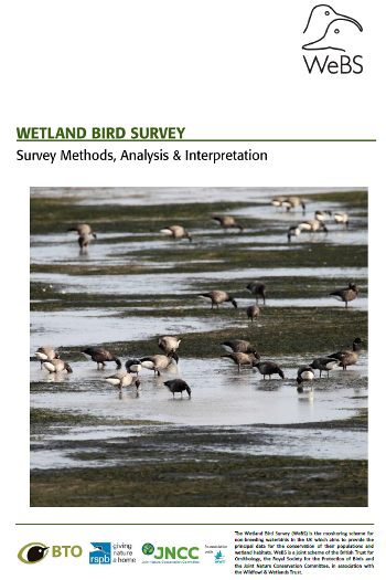
The WeBS Report Online interface allows the viewing of the latest and historical data from Waterbirds in the UK (the annual WeBS Report) as well as two periodic reports: WeBS Alerts for protected wetland sites; and the Non-Estuarine Waterbird Survey (NEWS). Click here to launch the WeBS Report Online interface and start exploring, or read on below for tips on how to use the facility and download the WeBS Methods documentation with background information and methods.
Viewing and Using Data
There are several tabs or sections of the interface. To view data you first need to select a tab and then select a species or location to filter by, and then the relevant dataset is returned. Most of the tables and plots can be downloaded as open data and reused with an Open Government Licence, as indicated on the page or download.
Numbers & Trends
This annual report element of the interface complements the summary report by providing comprehensive recent and historical sites and species data from WeBS Core Counts and supplementary data, in the form of annual maxima, national species totals, national species indices and trends and flagging of important sites. Navigation is by searching for a site ("location") or choosing a species from the drop-down menu. Tables are available for all WeBS sites and species.
Site Totals
This annual report element gives the total number of species seen at each site. The default view shows all sites with 1,000 or more birds, listed with the principal sites for non-breeding waterbirds in the UK at the top that support the largest aggregations of waterbirds. Sites with fewer birds can also be viewed by first selecting the relevant county in the dropdown. The search box can be used to find a particular site in the list. Clicking on a site in the table shows a list of species for which the site has recently supported nationally or internationally numbers.
Low Tide Counts
This annual report element gives maps and tables for key species for estuary locations from surveys undertaken at low tide. Navigation is by choosing a site from the drop-down menu and then selecting a species to map. Results from surveys in earlier years are also available. Up to four maps can be viewed at any one time for any combination of site, year and species.
WeBS Alerts
The WeBS Alerts report is a periodic report that is part of the BTO research report series. The results of the latest report are represented by the WeBS Alerts tab in the WeBS Online Report interface. The purpose of Alerts is to indicate the status of waterbirds on two types of protected sites - SPAs (Special Protection Areas) and SSSIs (Sites of Special Scientific Interest) - that are designated for their waterbird features.
NEWS
The Non-Estuarine Waterbird Survey (NEWS) is a comprehensive periodic survey of the non-estuarine coast, which covers the part of the coastline less well covered by WeBS counts. This tab includes maps of counts and tables of regional open coast population estimates for the surveys which took place in 1985, 1997/98, 2006/07 and 2015/16. Navigation is by choosing a region from the drop-down menu and then selecting a species to map.
WeBS Methods, Analysis and Presentation
The Waterbirds in the UK summary reports also contain additional data and interpretation.
Video Introduction to WeBS Report Online
We have produced a short series of Youtube videos to guide you through different aspects of the WeBS Online Report interface. Watch the introduction video below, or watch one of the other videos available on a specific aspect of the interface.
Frequently asked questions
View some commonly asked questions - but if you cannot find an answer to your query or have feedback about the WeBS Report Online or the data it contains, please contact us.








Share this page