Estimating the distribution of reed Phragmites australis in Britain demonstrates challenges of remotely sensing rare habitat types at large spatial scales

Author(s): Davies, J.G., Dytham, C., Robinson, R.A. & Beale, C.M.
Published: September 2024
Journal: Scientific Reports Volume: 14
Article No.: 22271
Digital Identifier No. (DOI): 10.1038/s41598-024-73030-6
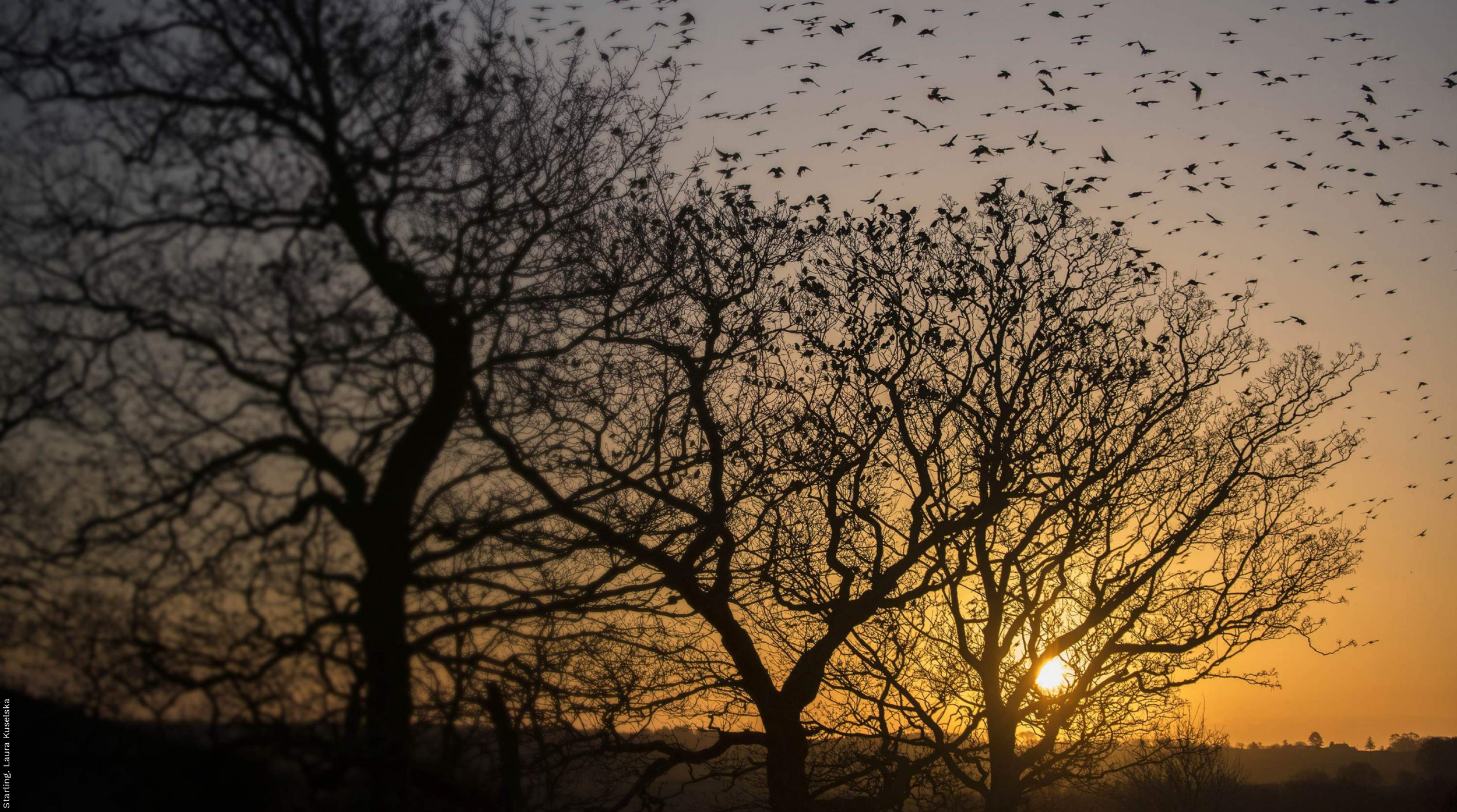
Although the reed plant is an invasive species in much of the world, in Britain reedbed is a relatively scarce habitat, but one that is important for a several bird species. Sending people out to look for and record its presence is time-consuming so data on how much we have are largely lacking, but recent advances in technology might be able to come to the rescue.
Satellites are providing ever more detailed images of the globe. The pictures they take, however, do not provide information on habitats directly. Rather, they measure light reflectance over a small square area (a pixel) at different wavelengths, from which the likely habitat must be inferred. Computer algorithms are getting better at decoding these patterns, and so identifying which habitats are in each pixel, but they are not perfect.
This study, in collaboration with the University of York, set out to test whether satellite images could help us measure the area of reedbed in Britain more quickly and accurately than field surveyors would be able to. To do this, images from 173 small areas of Britain were inspected for reedbed, and these were used these to ‘train’ a computer algorithm to find reedbeds in images from across the whole of Britain. Areas of northern England were then visited to assess how accurate the algorithm was at predicting the presence of reedbed.
In total, 7,800 ha of reedbed were identified, a similar amount to that which a (incomplete) field survey had estimated three decades previously. However, comparison of the resulting map to the field visits indicated that the map’s accuracy was relatively low, even after the analysis was repeated with much more satellite data. One issue is that individual reedbeds are often small in area and, in a satellite image, reed looks very similar to agricultural crops. Furthermore, data gathered by satellites can be strongly affected by changes in atmospheric conditions from one day to the next and there is also geographical variation in the timing and rate of reed growth, making it difficult to establish general ‘rules’ to identify which pixels contain reedbed. These issues all present real challenges in trying to identify such habitats, and so there is still some work to do to fully harness ‘big data’ approaches for conservation benefit.
Abstract
Notes
This research was funded by the Natural Environment Research Council (NERC training grant NE/M009467/1).
Jacob Davies
Research Ecologist

Rob Robinson
Associate Director, Research


Share this page